Our system uses predictive models and habitat mapping to optimize fishing efforts by identifying high-potential zones. This approach ensures sustainable resource management and leads to significantly improved catch efficiency — maximizing yield while maintaining sustainability.
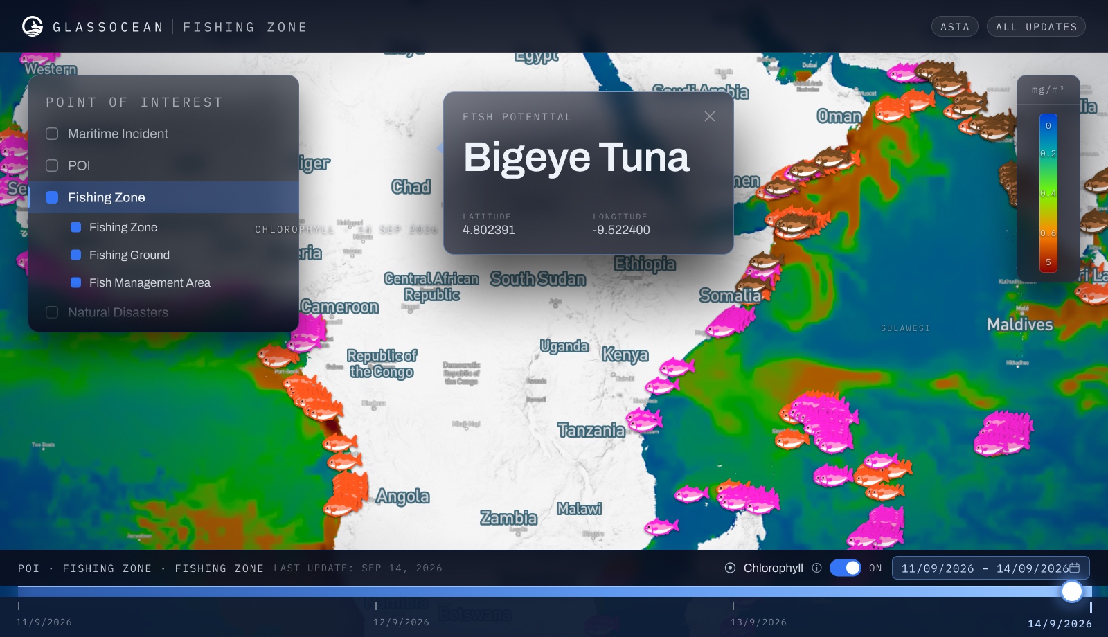
AI-driven mapping of species habitats based on sea temperature, salinity, and oceanographic patterns.
Ranked hotspot recommendations updated in real time, helping fleets maximize haul efficiency per voyage.
Sustainable fishing metrics and zone rotation recommendations to protect long-term fish stock health.
Filter hotspot data by target species — tuna, skipjack, mackerel, and more — for precision fishing.
Historical performance data per zone and season to benchmark and continuously improve fleet productivity.
Hotspot maps refresh continuously as oceanographic conditions change, ensuring always-current recommendations.
GlassOcean gives your team the visibility, intelligence, and tools to act faster — and smarter — on every maritime decision. See it live with a personalized demo.
