Harnessing advanced satellite technology, our platform delivers real-time insights to uncover hidden vessels and detect environmental threats like oil spills. With fast, accurate analysis, it empowers smarter decisions, stronger maritime security, and a cleaner, more sustainable ocean.
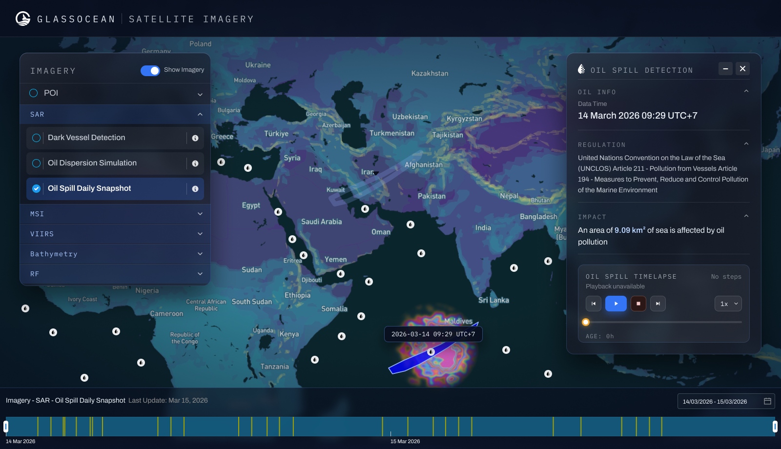
Synthetic Aperture Radar imaging detects vessels that have disabled AIS — including sanctioned tankers and illegal operators.
Cross-reference satellite detections with AIS data to identify vessels operating without transponders in real time.
Identify oil spill events via satellite imagery, calculate affected sea area, and trace probable source vessels automatically.
Automatic alerts for UNCLOS Article 211 violations — pollution from vessels — with regulatory reference and documentation.
Exportable, audit-ready reports on environmental incidents for regulatory bodies, insurers, and legal proceedings.
Compare multiple satellite passes to track vessel movements, spill expansion, and environmental change over time.
GlassOcean gives your team the visibility, intelligence, and tools to act faster — and smarter — on every maritime decision. See it live with a personalized demo.
