Maximize operational excellence with our advanced Meteorology and Oceanography platform. Gain unprecedented clarity through real-time data on wave height, wind speed, and sea temperature — instantly transforming risk mitigation and proactively optimizing every maritime venture.
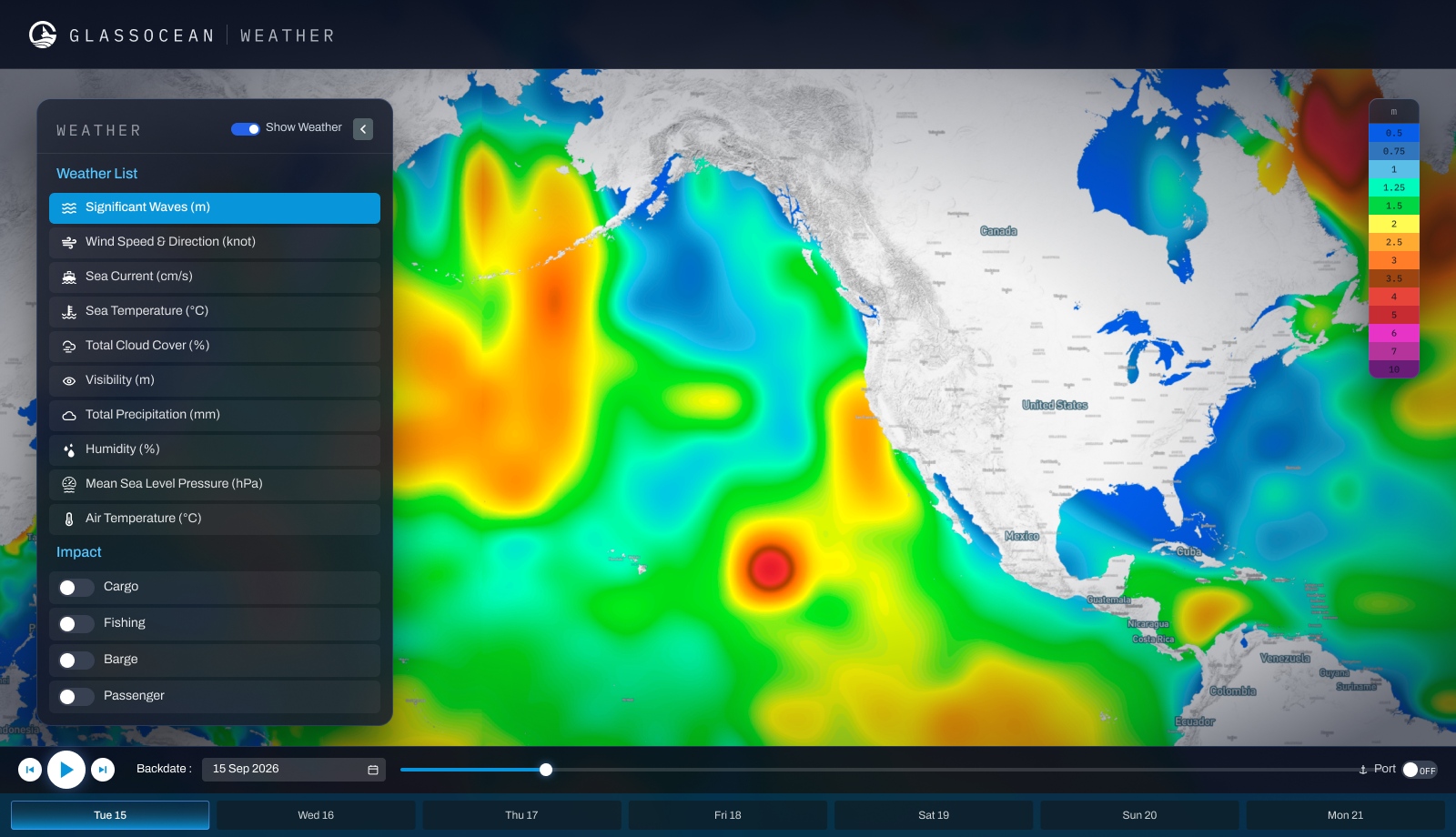
Real-time wind data overlaid on vessel positions, updated continuously for accurate route and cargo planning.
Live and forecast wave height data to assess seakeeping conditions and optimize passage timing.
Surface and subsurface temperature mapping for oceanographic research, fishing optimization, and environmental monitoring.
Automatically apply weather conditions along planned routes to assess risk exposure at every waypoint.
Predictive storm, cyclone, and adverse weather models with vessel impact scoring for proactive decision-making.
Access years of oceanographic data to identify seasonal patterns, optimize recurring routes, and benchmark conditions.
GlassOcean gives your team the visibility, intelligence, and tools to act faster — and smarter — on every maritime decision. See it live with a personalized demo.
